


Distance Calculator


Distance from Sredets to Targovishte
The shortest distance (air line) between Sredets and Targovishte is 69.60mi (112.01 km)
The shortest route between Sredets and Targovishte is 104.07 mi (167.48 km) according to the route planner. The driving time is approx. 2 h 52 m
How far is it between Sredets and Targovishte.
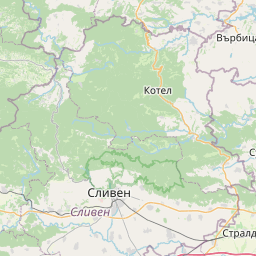
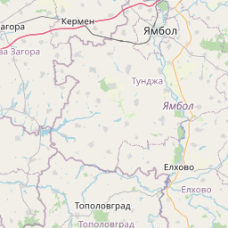
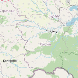
Sredets is located in Burgas, Bulgariacountry within 42° 21' 0" N 27° 11' 60" E (42.3500, 27.2000) coordinates. The local time in Sredets is 17:40 (12.01.2025)
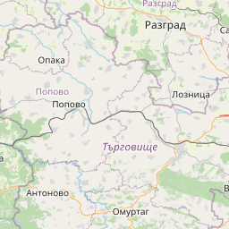
Targovishte is located in Targovishte, Bulgariacountry within 43° 15' 0" N 26° 34' 59.88" E (43.2500, 26.5833) coordinates. The local time in Targovishte is 17:40 (12.01.2025)
The calculated flying distance from Sredets to Targovishte is 69.60miles which is equal to 112.01 km.
If you want to go by car, the driving driving distance between Sredets and Targovishte is 104.07 miles (167.48 km). If you ride your car with an average speef of 112 kilometers/hour (70 miles/h), travel time will be 1 hours 30 minutes.Please check the avg.speed travel time on the right for various options
Estimated Travel Time Between Sredets and Targovishte
| Average speed | Travel Time |
|---|---|
| 30 mph (48 km/h) | 3 hours 28 minutes |
| 40 mph (64 km/h) | 2 hours 36 minutes |
| 50 mph (80 km/h) | 2 hours 5 minutes |
| 60 mph (67 km/h) | 1 hours 44 minutes |
| 70 mph (112 km/h) | 1 hours 29 minutes |
| 75 mph (120 km/h) | 1 hours 23 minutes |
Related Distances from Sredets
| Cities | Distance |
|---|---|
| Sredets to Burgas | 17.37 mi (27.95 km) |
| Sredets to Yambol | 36.87 mi (59.34 km) |
| Sredets to Sliven | 49.78 mi (80.12 km) |
| Sredets to Shumen | 65.89 mi (106.03 km) |
| Sredets to Targovishte | 69.60 mi (112.01 km) |
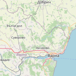
| Sredets to Varna | 70.05 mi (112.73 km) |
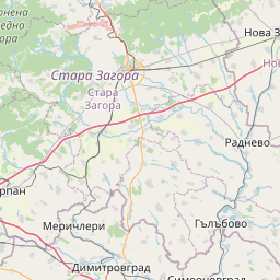
| Sredets to Stara Zagora | 79.30 mi (127.63 km) |
| Sredets to Haskovo | 88.49 mi (142.41 km) |
| Sredets to Razgrad | 88.76 mi (142.85 km) |
| Sredets to Dobrich | 89.96 mi (144.77 km) |
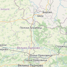
| Sredets to Veliko Tarnovo | 94.81 mi (152.58 km) |
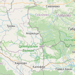
| Sredets to Gabrovo | 101.41 mi (163.21 km) |
| Sredets to Kardzhali | 105.83 mi (170.31 km) |
| Sredets to Ruse | 119.63 mi (192.53 km) |
| Sredets to Silistra | 122.14 mi (196.56 km) |
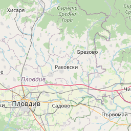
| Sredets to Plovdiv | 126.06 mi (202.87 km) |
| Sredets to Lovech | 137.15 mi (220.72 km) |
| Sredets to Pazardzhik | 146.92 mi (236.44 km) |
| Sredets to Pleven | 149.66 mi (240.86 km) |
| Sredets to Vratsa | 194.19 mi (312.52 km) |
| Sredets to Sofia | 198.52 mi (319.49 km) |
| Sredets to Blagoevgrad | 211.72 mi (340.73 km) |
| Sredets to Pernik | 213.02 mi (342.82 km) |
| Sredets to Kyustendil | 230.78 mi (371.40 km) |
| Sredets to Vidin | 246.27 mi (396.33 km) |
Targovishte, Targovishte, Bulgaria
 Log in with Google