


Distance Calculator


Distance from Eisenstadt to Klosterneuburg
The shortest distance (air line) between Eisenstadt and Klosterneuburg is 32.71mi (52.65 km)
The shortest route between Eisenstadt and Klosterneuburg is 48.28 mi (77.69 km) according to the route planner. The driving time is approx. 1 h 14 m
How far is it between Eisenstadt and Klosterneuburg.
Eisenstadt is located in Nordburgenland, Austriacountry within 47° 51' 0" N 16° 31' 0.12" E (47.8500, 16.5167) coordinates. The local time in Eisenstadt is 23:38 (18.03.2025)
Klosterneuburg is located in Wiener Umland/Nordteil, Austriacountry within 48° 18' 15.12" N 16° 19' 0.12" E (48.3042, 16.3167) coordinates. The local time in Klosterneuburg is 23:38 (18.03.2025)
The calculated flying distance from Eisenstadt to Klosterneuburg is 32.71miles which is equal to 52.65 km.
If you want to go by car, the driving driving distance between Eisenstadt and Klosterneuburg is 48.28 miles (77.69 km). If you ride your car with an average speef of 112 kilometers/hour (70 miles/h), travel time will be 0 hours 42 minutes.Please check the avg.speed travel time on the right for various options
Estimated Travel Time Between Eisenstadt and Klosterneuburg
| Average speed | Travel Time |
|---|---|
| 30 mph (48 km/h) | 1 hours 37 minutes |
| 40 mph (64 km/h) | 1 hours 12 minutes |
| 50 mph (80 km/h) | 0 hours 58 minutes |
| 60 mph (67 km/h) | 0 hours 48 minutes |
| 70 mph (112 km/h) | 0 hours 41 minutes |
| 75 mph (120 km/h) | 0 hours 39 minutes |
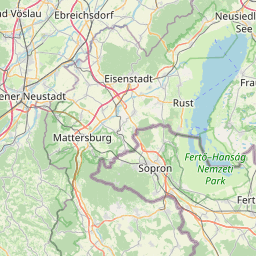
Eisenstadt, Nordburgenland, Austria
Related Distances from Eisenstadt
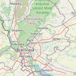
Klosterneuburg, Wiener Umland/Nordteil, Austria
 Connectez-vous avec Google