


Distance Calculator
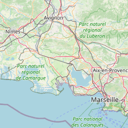

Distance from Grenoble to Aix-en-Provence
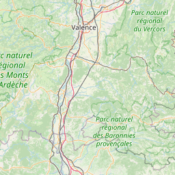
The shortest distance (air line) between Grenoble and Aix-en-Provence is 114.49mi (184.26 km)
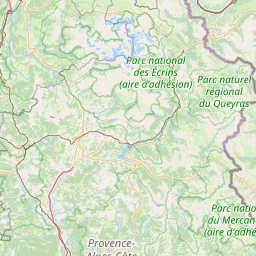
The shortest route between Grenoble and Aix-en-Provence is 182.22 mi (293.26 km) according to the route planner. The driving time is approx. 3 h 4 m
How far is it between Grenoble and Aix-en-Provence.
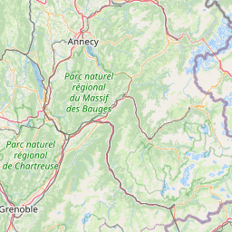
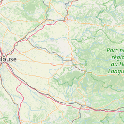
Grenoble is located in Isère, Francecountry within 45° 10' 17.4" N 5° 43' 20.64" E (45.1715, 5.7224) coordinates. The local time in Grenoble is 16:04 (22.03.2025)
Aix-en-Provence is located in Bouches-du-Rhone, Francecountry within 43° 31' 34.68" N 5° 26' 43.44" E (43.5263, 5.4454) coordinates. The local time in Aix-en-Provence is 16:04 (22.03.2025)
The calculated flying distance from Grenoble to Aix-en-Provence is 114.49miles which is equal to 184.26 km.
If you want to go by car, the driving driving distance between Grenoble and Aix-en-Provence is 182.22 miles (293.26 km). If you ride your car with an average speef of 112 kilometers/hour (70 miles/h), travel time will be 2 hours 37 minutes.Please check the avg.speed travel time on the right for various options
Estimated Travel Time Between Grenoble and Aix-en-Provence
| Average speed | Travel Time |
|---|---|
| 30 mph (48 km/h) | 6 hours 4 minutes |
| 40 mph (64 km/h) | 4 hours 33 minutes |
| 50 mph (80 km/h) | 3 hours 39 minutes |
| 60 mph (67 km/h) | 3 hours 2 minutes |
| 70 mph (112 km/h) | 2 hours 36 minutes |
| 75 mph (120 km/h) | 2 hours 26 minutes |
Related Distances from Grenoble
| Cities | Distance |
|---|---|
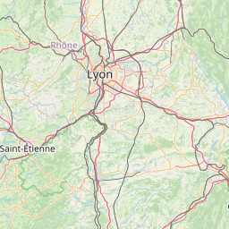
| Grenoble to Villeurbanne | 57.93 mi (93.23 km) |
| Grenoble to Lyon | 59.01 mi (94.96 km) |
| Grenoble to Saint-Etienne | 67.24 mi (108.21 km) |
| Grenoble to Nimes | 113.97 mi (183.41 km) |
| Grenoble to Aix-en-Provence | 114.49 mi (184.26 km) |
| Grenoble to Nice | 126.84 mi (204.13 km) |
| Grenoble to Marseille | 130.73 mi (210.38 km) |
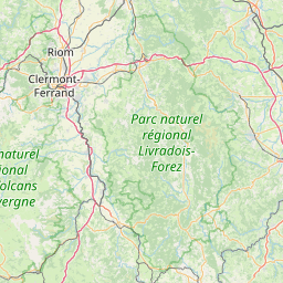
| Grenoble to Clermont-Ferrand | 134.69 mi (216.77 km) |
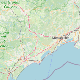
| Grenoble to Montpellier | 141.10 mi (227.08 km) |
| Grenoble to Toulon | 141.72 mi (228.08 km) |
| Grenoble to Dijon | 152.00 mi (244.63 km) |
| Grenoble to Toulouse | 237.33 mi (381.95 km) |
| Grenoble to Strasbourg | 254.34 mi (409.32 km) |
| Grenoble to Tours | 285.10 mi (458.83 km) |
| Grenoble to Reims | 293.55 mi (472.42 km) |
| Grenoble to Paris | 300.00 mi (482.80 km) |
| Grenoble to Boulogne-Billancourt | 301.57 mi (485.33 km) |
| Grenoble to Bordeaux | 308.65 mi (496.73 km) |
| Grenoble to Le Mans | 327.28 mi (526.70 km) |
| Grenoble to Angers | 338.96 mi (545.51 km) |
| Grenoble to Nantes | 375.40 mi (604.15 km) |
| Grenoble to Lille | 396.61 mi (638.28 km) |
| Grenoble to Le Havre | 397.71 mi (640.05 km) |
| Grenoble to Rennes | 405.49 mi (652.57 km) |
| Grenoble to Brest | 531.35 mi (855.12 km) |
Aix-en-Provence, Bouches-du-Rhone, France
 Connectez-vous avec Google