


Distance Calculator

Distance from Le Havre to Boulogne-Billancourt
The shortest distance (air line) between Le Havre and Boulogne-Billancourt is 106.78mi (171.85 km)
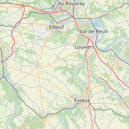
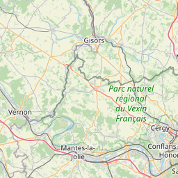
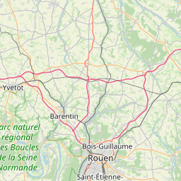
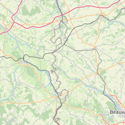
The shortest route between Le Havre and Boulogne-Billancourt is 119.24 mi (191.89 km) according to the route planner. The driving time is approx. 2 h 9 m
How far is it between Le Havre and Boulogne-Billancourt.
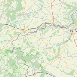
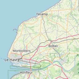
Le Havre is located in Seine-Maritime, Francecountry within 49° 29' 24" N 0° 6' 0" E (49.4900, 0.1000) coordinates. The local time in Le Havre is 17:45 (22.03.2025)
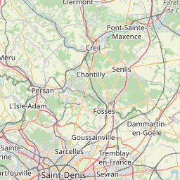
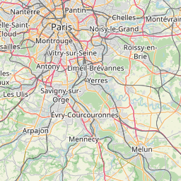
Boulogne-Billancourt is located in Hauts-de-Seine, Francecountry within 48° 50' 6.72" N 2° 14' 27.24" E (48.8352, 2.2409) coordinates. The local time in Boulogne-Billancourt is 17:45 (22.03.2025)
The calculated flying distance from Le Havre to Boulogne-Billancourt is 106.78miles which is equal to 171.85 km.
If you want to go by car, the driving driving distance between Le Havre and Boulogne-Billancourt is 119.24 miles (191.89 km). If you ride your car with an average speef of 112 kilometers/hour (70 miles/h), travel time will be 1 hours 43 minutes.Please check the avg.speed travel time on the right for various options
Estimated Travel Time Between Le Havre and Boulogne-Billancourt
| Average speed | Travel Time |
|---|---|
| 30 mph (48 km/h) | 3 hours 58 minutes |
| 40 mph (64 km/h) | 2 hours 59 minutes |
| 50 mph (80 km/h) | 2 hours 23 minutes |
| 60 mph (67 km/h) | 1 hours 59 minutes |
| 70 mph (112 km/h) | 1 hours 42 minutes |
| 75 mph (120 km/h) | 1 hours 35 minutes |
Le Havre, Seine-Maritime, France
Related Distances from Le Havre
| Cities | Distance |
|---|---|
| Le Havre to Le Mans | 102.52 mi (164.98 km) |
| Le Havre to Boulogne-Billancourt | 106.78 mi (171.85 km) |
| Le Havre to Paris | 110.74 mi (178.22 km) |
| Le Havre to Rennes | 124.84 mi (200.91 km) |
| Le Havre to Angers | 142.50 mi (229.34 km) |
| Le Havre to Tours | 147.34 mi (237.12 km) |
| Le Havre to Lille | 152.95 mi (246.15 km) |
| Le Havre to Nantes | 174.34 mi (280.58 km) |
| Le Havre to Reims | 177.68 mi (285.95 km) |
| Le Havre to Brest | 221.70 mi (356.79 km) |
| Le Havre to Dijon | 270.86 mi (435.90 km) |
| Le Havre to Clermont-Ferrand | 291.28 mi (468.77 km) |
| Le Havre to Bordeaux | 322.86 mi (519.60 km) |
| Le Havre to Lyon | 339.18 mi (545.86 km) |
| Le Havre to Villeurbanne | 340.05 mi (547.25 km) |
| Le Havre to Saint-Etienne | 344.36 mi (554.20 km) |
| Le Havre to Strasbourg | 351.78 mi (566.14 km) |
| Le Havre to Grenoble | 397.71 mi (640.05 km) |
| Le Havre to Toulouse | 411.61 mi (662.43 km) |
| Le Havre to Nimes | 439.51 mi (707.32 km) |
| Le Havre to Montpellier | 443.88 mi (714.36 km) |
| Le Havre to Aix-en-Provence | 483.86 mi (778.70 km) |
| Le Havre to Marseille | 495.89 mi (798.06 km) |
| Le Havre to Toulon | 520.02 mi (836.89 km) |
| Le Havre to Nice | 524.50 mi (844.10 km) |
Boulogne-Billancourt, Hauts-de-Seine, France
 Connectez-vous avec Google