


Distance Calculator
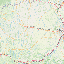

Distance from Nimes to Saint-Etienne
The shortest distance (air line) between Nimes and Saint-Etienne is 110.33mi (177.56 km)
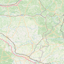
The shortest route between Nimes and Saint-Etienne is 167.57 mi (269.68 km) according to the route planner. The driving time is approx. 2 h 59 m
How far is it between Nimes and Saint-Etienne.
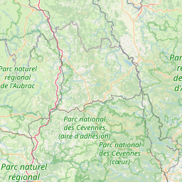
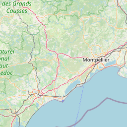
Nimes is located in Gard, Francecountry within 43° 50' 16.8" N 4° 21' 39.6" E (43.8380, 4.3610) coordinates. The local time in Nimes is 14:44 (21.03.2025)
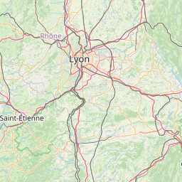
Saint-Etienne is located in Loire, Francecountry within 45° 26' 4.92" N 4° 23' 25.08" E (45.4347, 4.3903) coordinates. The local time in Saint-Etienne is 14:44 (21.03.2025)
The calculated flying distance from Nimes to Saint-Etienne is 110.33miles which is equal to 177.56 km.
If you want to go by car, the driving driving distance between Nimes and Saint-Etienne is 167.57 miles (269.68 km). If you ride your car with an average speef of 112 kilometers/hour (70 miles/h), travel time will be 2 hours 24 minutes.Please check the avg.speed travel time on the right for various options
Estimated Travel Time Between Nimes and Saint-Etienne
| Average speed | Travel Time |
|---|---|
| 30 mph (48 km/h) | 5 hours 35 minutes |
| 40 mph (64 km/h) | 4 hours 11 minutes |
| 50 mph (80 km/h) | 3 hours 21 minutes |
| 60 mph (67 km/h) | 2 hours 48 minutes |
| 70 mph (112 km/h) | 2 hours 24 minutes |
| 75 mph (120 km/h) | 2 hours 14 minutes |
Related Distances from Nimes
| Cities | Distance |
|---|---|
| Nimes to Montpellier | 28.77 mi (46.30 km) |
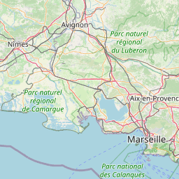
| Nimes to Aix-en-Provence | 58.31 mi (93.84 km) |
| Nimes to Marseille | 62.86 mi (101.17 km) |
| Nimes to Toulon | 92.81 mi (149.36 km) |
| Nimes to Saint-Etienne | 110.33 mi (177.56 km) |
| Nimes to Grenoble | 113.97 mi (183.41 km) |
| Nimes to Lyon | 134.86 mi (217.03 km) |
| Nimes to Villeurbanne | 135.67 mi (218.34 km) |
| Nimes to Nice | 145.25 mi (233.75 km) |
| Nimes to Toulouse | 146.54 mi (235.84 km) |
| Nimes to Clermont-Ferrand | 148.28 mi (238.64 km) |
| Nimes to Dijon | 242.44 mi (390.16 km) |
| Nimes to Bordeaux | 253.75 mi (408.36 km) |
| Nimes to Tours | 302.98 mi (487.59 km) |
| Nimes to Angers | 345.47 mi (555.98 km) |
| Nimes to Le Mans | 350.63 mi (564.29 km) |
| Nimes to Paris | 359.72 mi (578.91 km) |
| Nimes to Boulogne-Billancourt | 359.74 mi (578.95 km) |
| Nimes to Strasbourg | 365.54 mi (588.28 km) |
| Nimes to Nantes | 369.25 mi (594.25 km) |
| Nimes to Reims | 375.14 mi (603.72 km) |
| Nimes to Rennes | 413.80 mi (665.95 km) |
| Nimes to Le Havre | 439.51 mi (707.32 km) |
| Nimes to Lille | 473.07 mi (761.34 km) |
| Nimes to Brest | 527.31 mi (848.62 km) |
 Connectez-vous avec Google