


Distance Calculator

Distance from Aix-en-Provence to Clermont-Ferrand
The shortest distance (air line) between Aix-en-Provence and Clermont-Ferrand is 194.41mi (312.87 km)
The shortest route between Aix-en-Provence and Clermont-Ferrand is 284.93 mi (458.55 km) according to the route planner. The driving time is approx. 4 h 56 m
How far is it between Aix-en-Provence and Clermont-Ferrand.
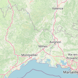
Aix-en-Provence is located in Bouches-du-Rhone, Francecountry within 43° 31' 34.68" N 5° 26' 43.44" E (43.5263, 5.4454) coordinates. The local time in Aix-en-Provence is 17:22 (23.03.2025)
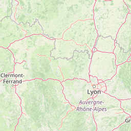
Clermont-Ferrand is located in Puy-de-Dome, Francecountry within 45° 46' 59.16" N 3° 4' 56.64" E (45.7831, 3.0824) coordinates. The local time in Clermont-Ferrand is 17:22 (23.03.2025)
The calculated flying distance from Aix-en-Provence to Clermont-Ferrand is 194.41miles which is equal to 312.87 km.
If you want to go by car, the driving driving distance between Aix-en-Provence and Clermont-Ferrand is 284.93 miles (458.55 km). If you ride your car with an average speef of 112 kilometers/hour (70 miles/h), travel time will be 4 hours 6 minutes.Please check the avg.speed travel time on the right for various options
Estimated Travel Time Between Aix-en-Provence and Clermont-Ferrand
| Average speed | Travel Time |
|---|---|
| 30 mph (48 km/h) | 9 hours 30 minutes |
| 40 mph (64 km/h) | 7 hours 7 minutes |
| 50 mph (80 km/h) | 5 hours 42 minutes |
| 60 mph (67 km/h) | 4 hours 45 minutes |
| 70 mph (112 km/h) | 4 hours 4 minutes |
| 75 mph (120 km/h) | 3 hours 48 minutes |
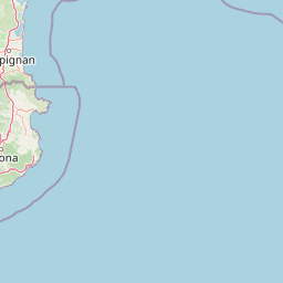
Aix-en-Provence, Bouches-du-Rhone, France
Related Distances from Aix-en-Provence
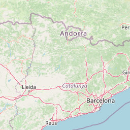
Clermont-Ferrand, Puy-de-Dome, France
 Log in with Google