


Distance Calculator

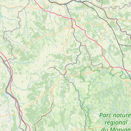

Distance from Angers to Clermont-Ferrand
The shortest distance (air line) between Angers and Clermont-Ferrand is 208.33mi (335.28 km)
The shortest route between Angers and Clermont-Ferrand is 276.91 mi (445.65 km) according to the route planner. The driving time is approx. 4 h 32 m
How far is it between Angers and Clermont-Ferrand.
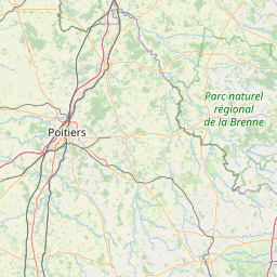
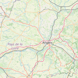
Angers is located in Maine-et-Loire, Francecountry within 47° 28' 24.96" N -1° 26' 44.88" W (47.4736, -0.5542) coordinates. The local time in Angers is 21:42 (26.03.2025)
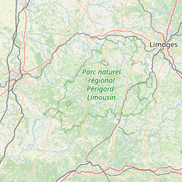
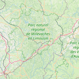
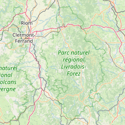
Clermont-Ferrand is located in Puy-de-Dome, Francecountry within 45° 46' 59.16" N 3° 4' 56.64" E (45.7831, 3.0824) coordinates. The local time in Clermont-Ferrand is 21:42 (26.03.2025)
The calculated flying distance from Angers to Clermont-Ferrand is 208.33miles which is equal to 335.28 km.
If you want to go by car, the driving driving distance between Angers and Clermont-Ferrand is 276.91 miles (445.65 km). If you ride your car with an average speef of 112 kilometers/hour (70 miles/h), travel time will be 3 hours 59 minutes.Please check the avg.speed travel time on the right for various options
Estimated Travel Time Between Angers and Clermont-Ferrand
| Average speed | Travel Time |
|---|---|
| 30 mph (48 km/h) | 9 hours 14 minutes |
| 40 mph (64 km/h) | 6 hours 55 minutes |
| 50 mph (80 km/h) | 5 hours 32 minutes |
| 60 mph (67 km/h) | 4 hours 37 minutes |
| 70 mph (112 km/h) | 3 hours 57 minutes |
| 75 mph (120 km/h) | 3 hours 42 minutes |
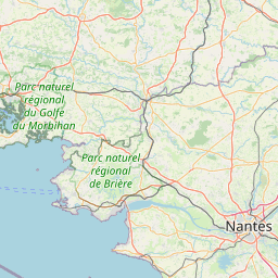
Angers, Maine-et-Loire, France
Related Distances from Angers
| Cities | Distance |
|---|---|
| Angers to Nantes | 49.97 mi (80.42 km) |
| Angers to Le Mans | 50.84 mi (81.82 km) |
| Angers to Tours | 58.38 mi (93.95 km) |
| Angers to Rennes | 68.48 mi (110.21 km) |
| Angers to Le Havre | 142.50 mi (229.34 km) |
| Angers to Boulogne-Billancourt | 159.51 mi (256.71 km) |
| Angers to Paris | 164.52 mi (264.76 km) |
| Angers to Bordeaux | 181.97 mi (292.85 km) |
| Angers to Brest | 192.86 mi (310.38 km) |
| Angers to Clermont-Ferrand | 208.33 mi (335.28 km) |
| Angers to Reims | 244.17 mi (392.96 km) |
| Angers to Dijon | 260.73 mi (419.61 km) |
| Angers to Lille | 272.43 mi (438.43 km) |
| Angers to Saint-Etienne | 274.22 mi (441.32 km) |
| Angers to Lyon | 281.97 mi (453.79 km) |
| Angers to Villeurbanne | 283.50 mi (456.25 km) |
| Angers to Toulouse | 284.25 mi (457.46 km) |
| Angers to Grenoble | 338.96 mi (545.51 km) |
| Angers to Montpellier | 342.19 mi (550.70 km) |
| Angers to Nimes | 345.47 mi (555.98 km) |
| Angers to Strasbourg | 390.90 mi (629.09 km) |
| Angers to Aix-en-Provence | 398.28 mi (640.97 km) |
| Angers to Marseille | 407.14 mi (655.22 km) |
| Angers to Toulon | 435.11 mi (700.24 km) |
| Angers to Nice | 458.82 mi (738.40 km) |
Clermont-Ferrand, Puy-de-Dome, France
 Log in with Google